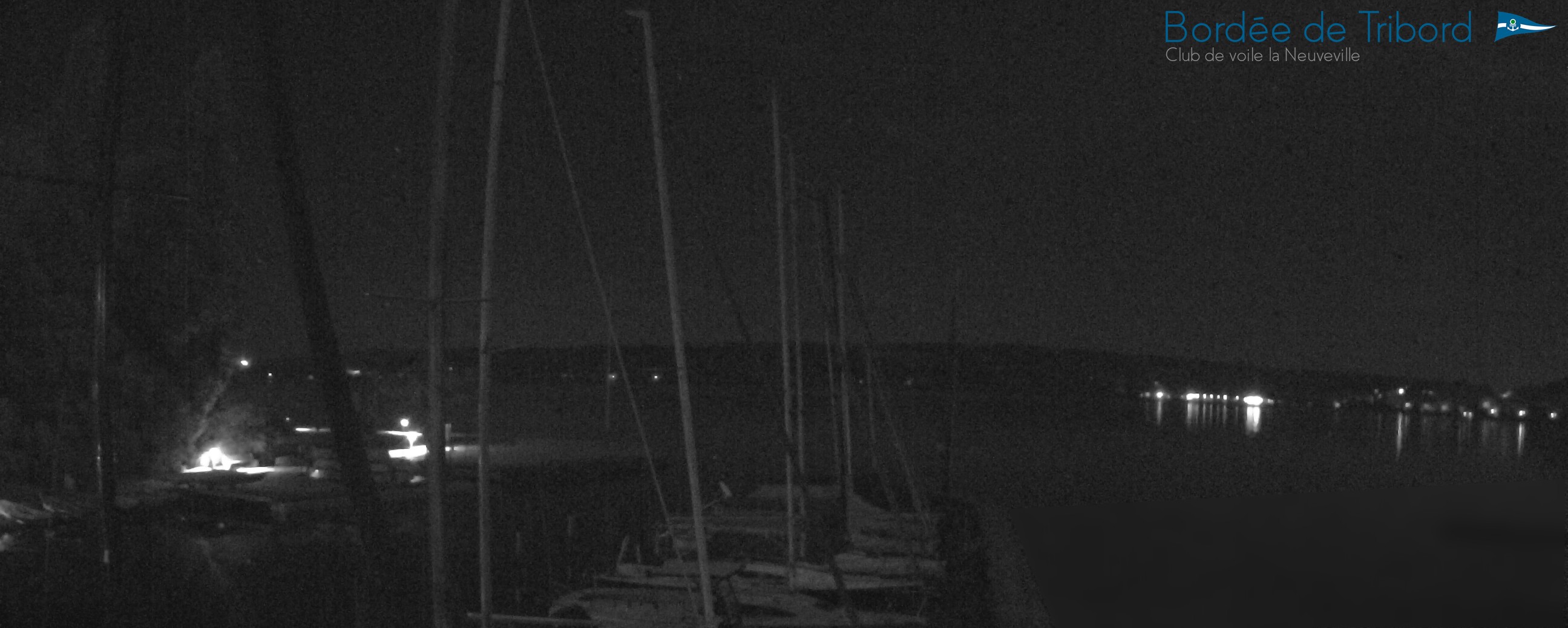




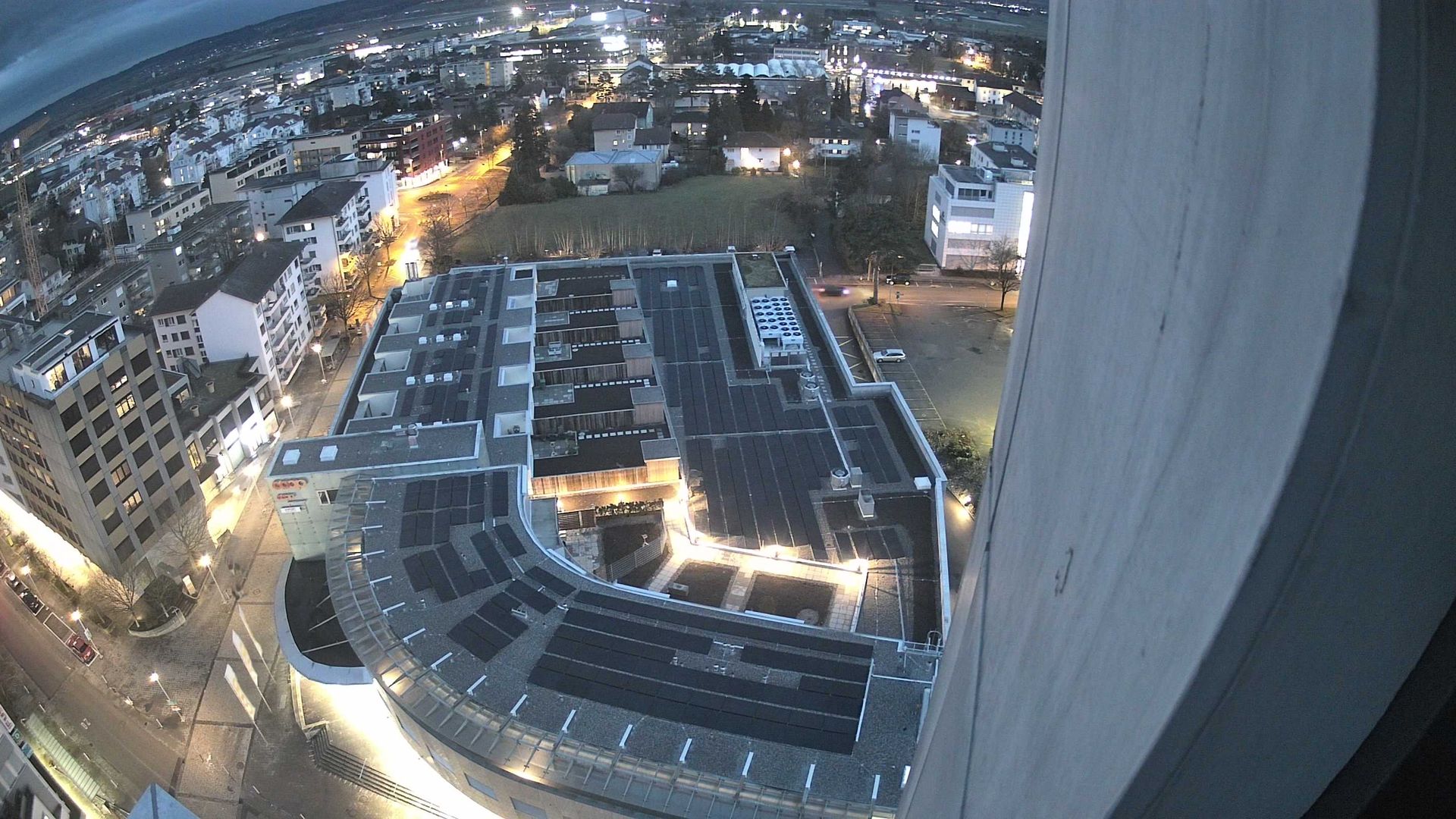
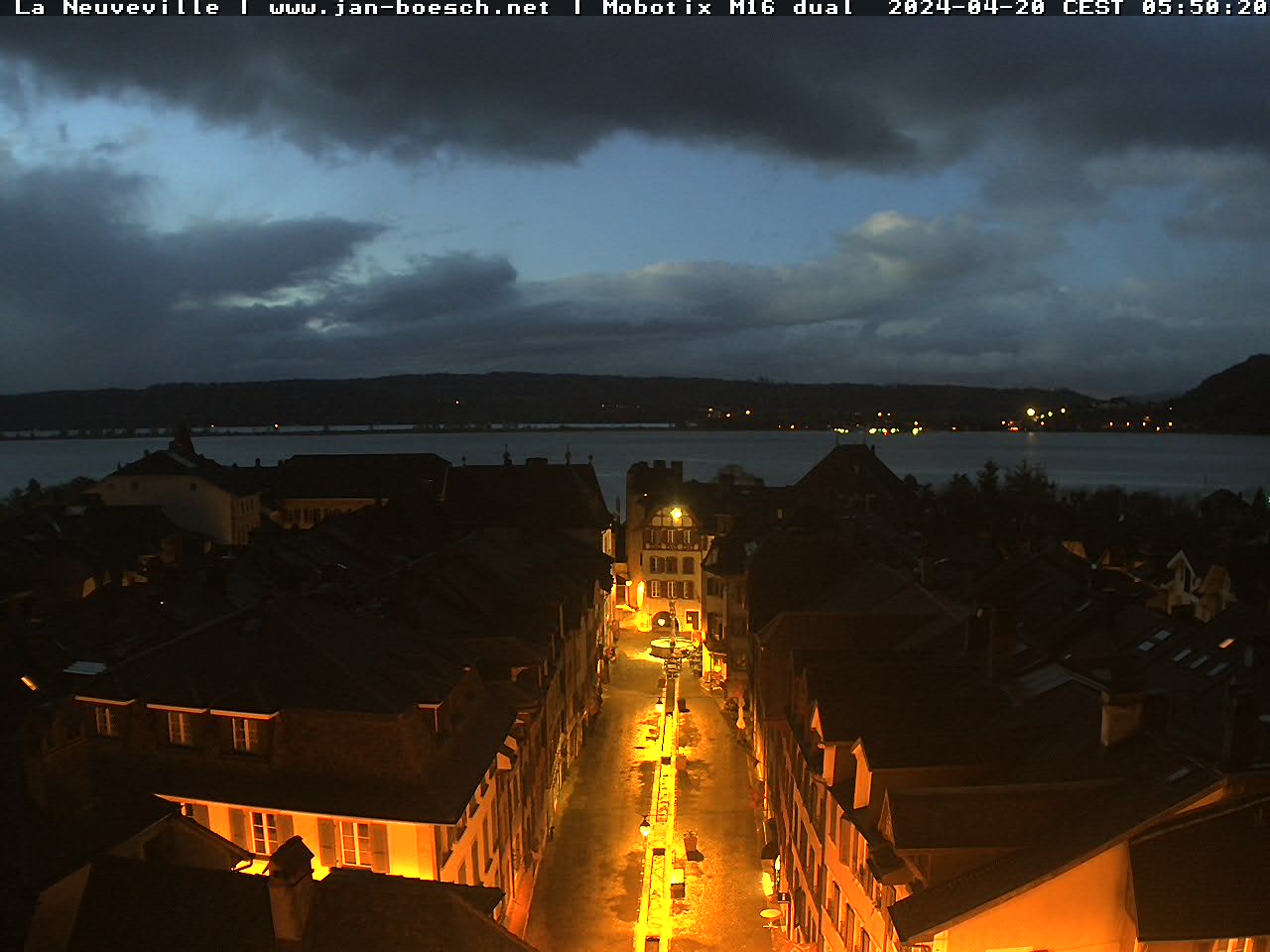
Resorts in close proximity of Biel.
SkiWeather.eu weather report
Biel weather report
Biel, Berner Oberland 438m
WeatherFog
Temperature16 to 19 °C
Precipitation1.6 mm signal
Wind6 km/h
Current weather facts for the resort.
A concise snapshot of temperature, precipitation, wind and freezing level; practical consequences are kept in Weather impact.
Weather
Fog
Temperature
16 to 19 °C
Precipitation
1.6 mm signal
Wind
6 km/h
Chance of precipitation
0%
Evaporation
2.3 mm
The precipitation amount and probability do not agree, so the wet-weather signal has limited confidence. Use the period cards for timing.
What the forecast means in practice.
Consequences for visibility, exposed lifts, paths, surfaces and mountain comfort—without repeating the numerical Today card.
Poor visibilityUncertain surface signalCalm weather
Visibility
Fog or mist can substantially reduce terrain visibility.
Wind comfort
Light wind should cause little wind-related discomfort.
Precipitation
The precipitation signal is uncertain; use the period cards for timing.
Mountain comfort
Temperatures should be generally comfortable.
Today’s period-by-period forecast.
Use the visible period cards to identify timing, temperature changes and the most likely wet or dry window.
Loading period forecast…
Stable timingDry daylight sequence
Morning: cloudy at about 18 °C. Afternoon: partly cloudy at about 19 °C. Evening: partly cloudy at about 16 °C. Morning, afternoon and evening form a consistently dry daylight sequence.
Tomorrow’s period-by-period forecast.
Use the visible period cards to identify timing, temperature changes and the most likely wet or dry window.
Loading period forecast…
Mixed timing
Morning: light rain showers at about 19 °C. Afternoon: light rain showers at about 18 °C. Evening: partly cloudy at about 17 °C.
6-day resort weather trend.
Highlights changes, persistent wet or dry sequences, and the most useful planning window across the same six visible forecast days.
Loading forecast…
Multi-day wet windowWettest: WedDry window: Mon
Wed–Thu is the longest supported wet window, around 18.2 mm combined. Wed is the wettest visible day at around 14.9 mm. Mon offers the clearest dry-weather planning window. Daytime temperatures trend cooler later in the outlook. Wed–Thu forms a 2-day wet sequence with about 18.2 mm combined. The visible horizon totals about 21.7 mm. Mon–Tue is the clearest sustained dry-weather planning window.
Temperature trend with mountain reference values where available.
Temperature timing affects comfort, freeze level and whether precipitation is experienced as rain or snow at altitude.
Snow signal and freezing-level trend for slope-level planning.
Freezing-level shifts help interpret snow relevance, melt risk and whether upper terrain differs from lower slopes.
Nearby valley and mountain weather signals around Biel.
Compare the same four days across nearby resorts to separate local effects from the wider weather pattern.
Resorts with comparable elevation and long-year weather profile.
Use comparable resorts to judge whether a local signal is typical for this elevation and climate setting.
Related resorts are temporarily unavailable.
Continue your resort check
Terrain, snow and weather for Biel.